The Land Before the Town
Before Mount Pleasant became what it is today, this landscape was home to Native American tribes, including the Sewee and the Wando. The Sewee lived along the coastline between the Cooper and Santee Rivers, building communities connected by the same waterways that still define the Lowcountry. Their legacy remains woven into the landscape through familiar names like the Wando River and Seewee Drive, reminders that this land’s story began long before English settlement.
When English colonists arrived in the late 1600s, they entered a place already shaped by water, movement, and settlement. Early maps called the area North Point, then Oldwanus Point, before it eventually became known as Mount Pleasant.
English settlement began in 1680, when Captain Florentia O’Sullivan received a land grant of more than 2,300 acres covering part of what would become Mount Pleasant. By 1706, the area was part of the newly established Christ Church Parish, where plantations producing rice, indigo, cotton, livestock, brick, and naval stores shaped the local economy and landscape for the next century.
The rivers, creeks, and marshes were not simply scenery. They determined where people settled, how communities developed, and ultimately how Mount Pleasant itself took shape.
Five Villages, Five Beginnings
Mount Pleasant did not begin with a single town square or one central settlement. It grew from five neighboring communities, each contributing something different to the town’s identity.
Greenwich Village, 1766
Greenwich Village was established by Englishman Jonathan Scott beside his plantation and mill on Shem Creek, becoming the area’s first planned village. He laid out an English-style village with streets named King, Queen, and Pitt, many of which remain some of Mount Pleasant’s oldest and most recognizable streets today.
Hibben Ferry Tract, 1770
Hibben Ferry Tract began when Andrew Hibben established a ferry across the Cooper River, forever changing travel between Christ Church Parish and Charleston. Long before bridges connected the two communities, the ferry carried families, merchants, crops, livestock, and visitors, making it one of the region’s most important transportation links.
Mount Pleasant Village, 1803
Mount Pleasant Village took shape after James Hibben purchased Jacob Motte’s Mount Pleasant Plantation and surveyed 35 town lots overlooking Charleston Harbor. Combined with the nearby ferry landing, it grew into an important residential and commercial center connected to Charleston by water. The plantation’s name eventually became the name of the town itself.
Hilliardsville, 1847
Hilliardsville emerged as the community continued growing when Charles Jugnot and Oliver Hilliard developed new streets, homes, and public gathering spaces, including what is now Alhambra Park.
Lucasville, 1853
Lucasville grew out of the Lowcountry rice industry. Jonathan Lucas had revolutionized rice production with a water-powered mill along Shem Creek, and his son later established Lucasville, reflecting the town’s growing maritime and industrial economy.
Rather than replacing one another, these five villages gradually became connected, creating a town that still feels like a collection of distinct places rather than a single uniform community. Every area has its own personality because every area has its own beginning.
Becoming the Town of Mount Pleasant
In 1837, the villages of Greenwich and Mount Pleasant officially merged to form the Town of Mount Pleasant. Hilliardsville was incorporated in 1858, followed by Lucasville and the Hibben Ferry Tract in 1872.
Unlike many American towns that expanded outward from a single center, Mount Pleasant evolved by bringing neighboring communities together, and that pattern of growth is still visible today. Much of what we now call the Old Village reflects these earliest communities and their gradual connection over time.
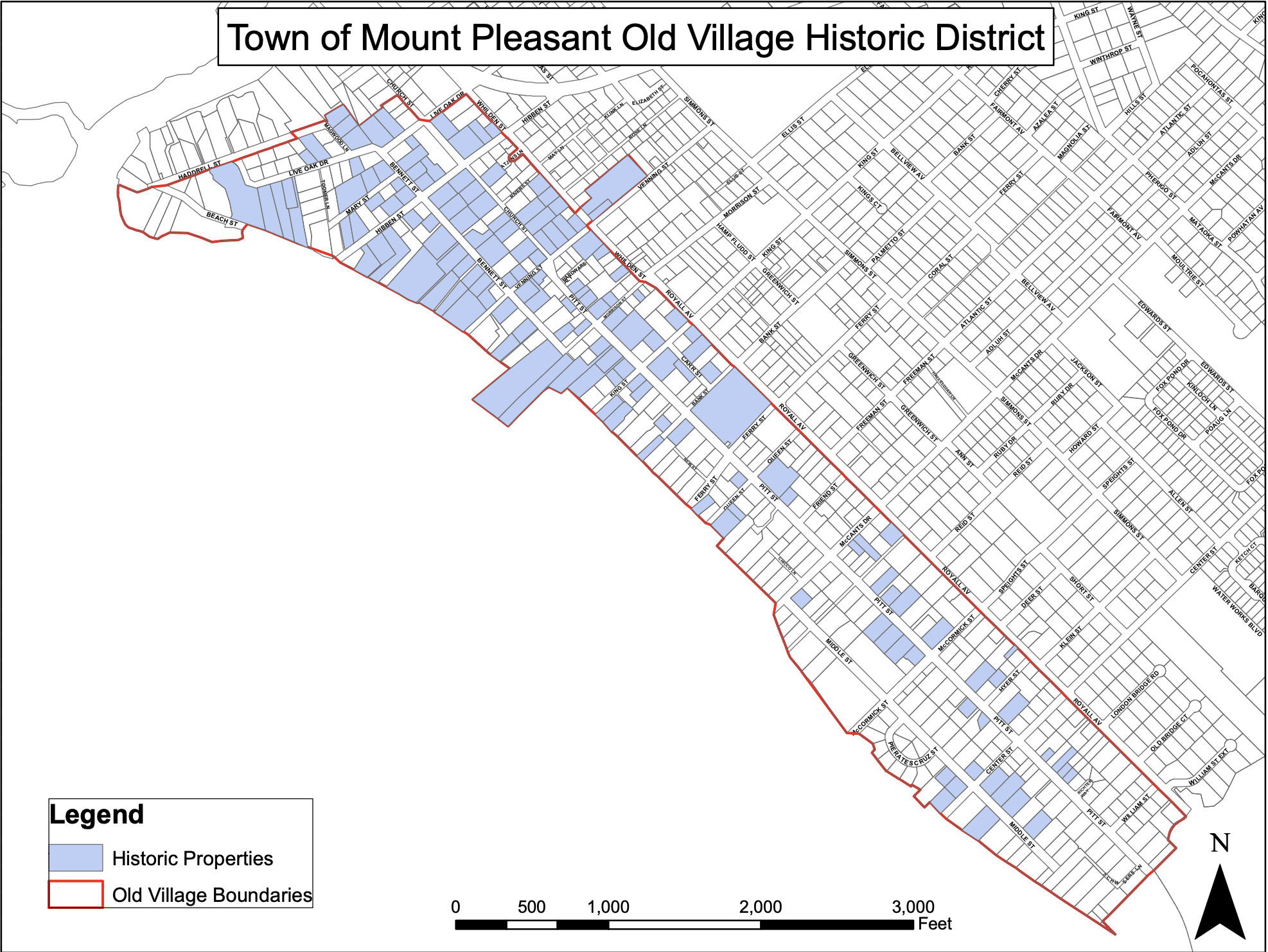
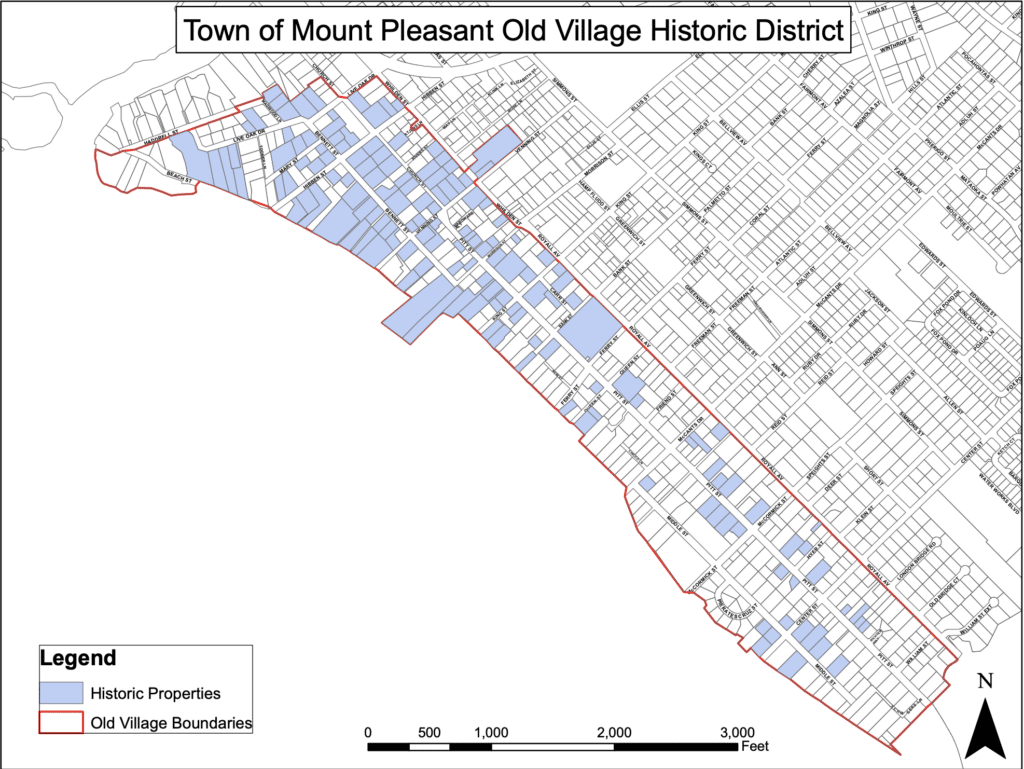
Walking beneath the live oaks along Pitt Street or through the quiet residential streets is not a walk through one historic neighborhood. It is a walk through several communities whose histories grew together. Today, these original villages make up much of the Old Village Historic District, listed on the National Register of Historic Places in 1973.
Charleston County’s Oldest Summer Resort
By the mid-1800s, Mount Pleasant had earned another distinction: Charleston County’s oldest summer resort. Families from Charleston crossed the river to spend summers here, drawn by cooler coastal breezes and a quieter pace of life. Early cottages gradually gave way to permanent homes as more families chose to stay year-round.
That evolution helped shape the town’s identity. Mount Pleasant became a place where history, waterfront living, and close-knit neighborhoods naturally blended together, a character that still defines the community today.
A Town That Never Stopped Growing
The Old Village tells the story of where Mount Pleasant began, but not where it ended.
As transportation improved and the Lowcountry evolved, Mount Pleasant expanded well beyond its original boundaries. Communities like Scanlonville became powerful symbols of African American land ownership and entrepreneurship after the Civil War. Historic plantations like Snee Farm entered a new chapter, evolving into neighborhoods while preserving connections to some of America’s Founding Fathers. Working waterfronts, military history, Gullah Geechee traditions, agriculture, and later suburban growth all added new chapters to the town’s story.
Today’s Mount Pleasant stretches from Charleston Harbor to the Wando River and north toward Awendaw, yet its character is still rooted in those original communities that first developed beside the rivers, creeks, and marshes centuries ago.
Why This History Still Matters
One of the things I love most about Mount Pleasant is that its history is not tucked away in museums. The layers of history are part of everyday life: in the names of our streets, in the churches that have served generations of families, and in neighborhoods that began as plantations, ferry landings, or independent villages.
It is also found in the traditions of the Gullah Geechee community, whose influence continues to shape the Lowcountry today, and in the rivers, marshes, and tidal creeks that have connected people to this place for centuries.
The more you understand how Mount Pleasant came together, the more you appreciate that it was never simply built. It was shaped, layer by layer, into the community so many of us are proud to call home.
The Old Village was not designed to look historic; it is historic. The different personalities found throughout town were not created by modern planning. They were shaped over generations as separate communities grew together while holding onto pieces of their original identity. That layered history is part of what makes Mount Pleasant feel different from many newer communities, and every neighborhood tells part of the town’s story.
Frequently Asked Questions
What were the five original villages that shaped Mount Pleasant?
The five historic villages were Greenwich Village, Hibben Ferry Tract, Mount Pleasant Village, Hilliardsville, and Lucasville. Each developed at a different time and contributed to the town’s identity, economy, and layout.
When did Mount Pleasant officially become a town?
Mount Pleasant began taking official shape in 1837, when the villages of Greenwich and Mount Pleasant merged to form the Town of Mount Pleasant. Other nearby communities were incorporated later, including Hilliardsville in 1858 and Lucasville and the Hibben Ferry Tract in 1872.
Why is the Old Village in Mount Pleasant historically important?
The Old Village includes much of the area where Mount Pleasant’s earliest communities developed. Its streets, homes, churches, and waterfront connections reflect the town’s origins as a collection of villages, ferry landings, and working waterfronts. The Old Village Historic District was listed on the National Register of Historic Places in 1973.
Who lived in the Mount Pleasant area before English settlement?
Before English settlement, the area was home to Native American tribes, including the Sewee and the Wando. Their presence remains reflected in local place names such as the Wando River and Seewee Drive.
Why was Mount Pleasant known as Charleston County’s oldest summer resort?
By the mid-1800s, families from Charleston traveled across the river to Mount Pleasant for cooler breezes, waterfront views, and a quieter seasonal retreat. Over time, many summer cottages became permanent homes.
How did waterways shape Mount Pleasant’s history?
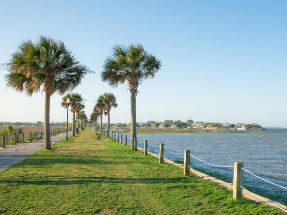
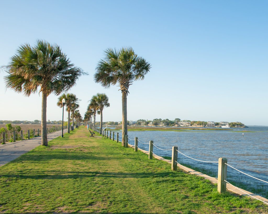
Rivers, creeks, marshes, and ferry routes influenced where people settled, how goods moved, and how communities connected with Charleston and one another. Waterways were central to Mount Pleasant’s early growth and remain part of its identity today.
Sources & Further Reading
This article was researched using historical records and local preservation resources, including:
If you would like to experience many of these places yourself, the Mount Pleasant Historical Commission’s self-guided tours are one of the best ways to explore the town’s history beyond the pages of a book.